
01
Soil Health Monitoring
Measure soil conditions for informed nutrient and irrigation decisions.
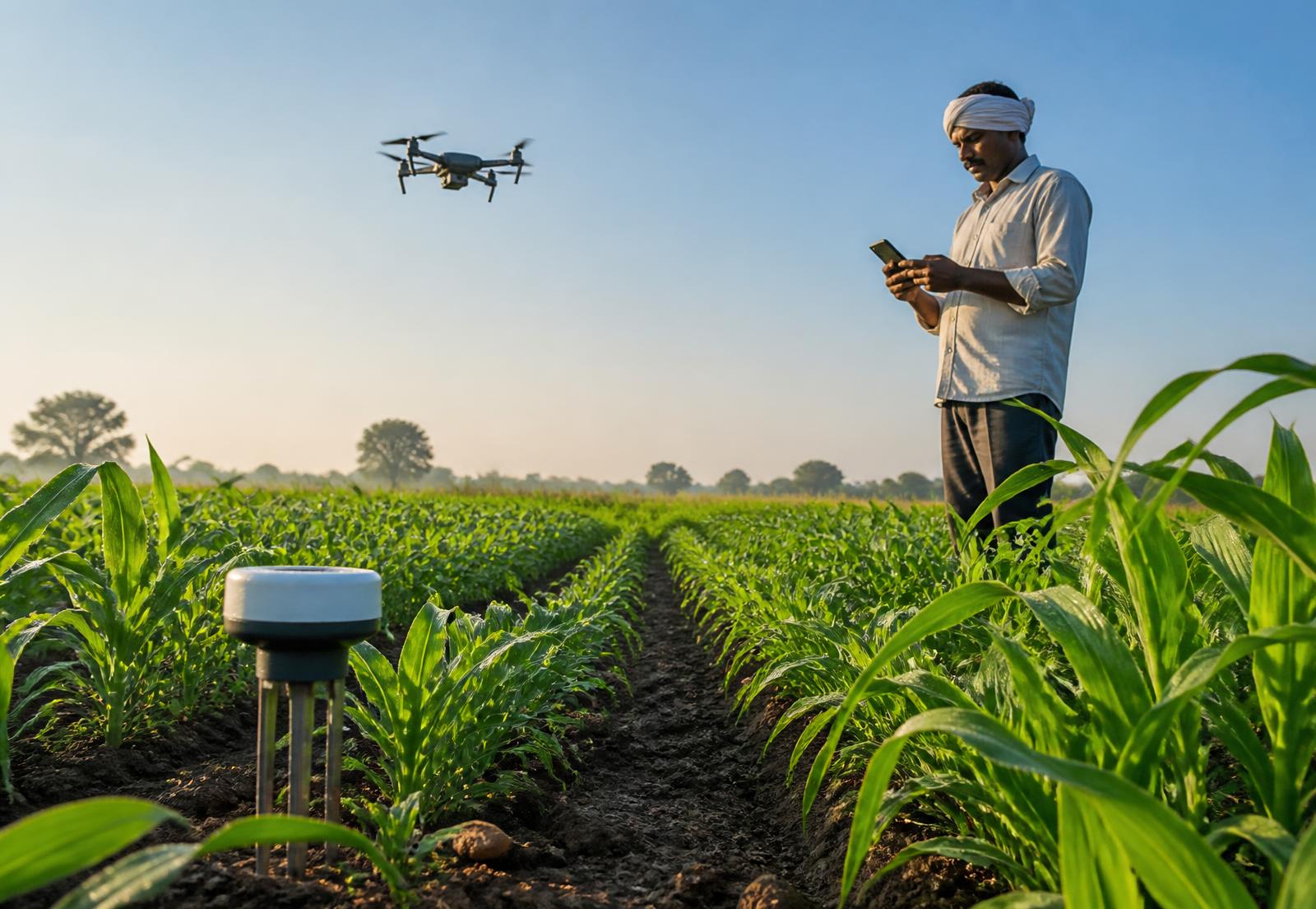
Agriculture Technology · IoT | AI | Data Intelligence
Sarus Agro combines IoT, AI and connected agricultural intelligence to turn field data into actionable insight.
Ground sensing, agricultural data, computer vision, weather intelligence, aerial imaging and satellite observation work as one layer — so agricultural conditions can be understood and acted on, not guessed.
What Sarus Agro does
Sarus Agro works across the full chain — sensing hardware in the field, connectivity that carries readings continuously, agricultural data models, AI analysis and the decision support that reaches the person making the call. Every stage exists because the next one depends on it.
01 · SENSE
IoT sensing
Soil, crop, greenhouse, warehouse and environmental sensors measure conditions where they actually happen.
02 · CONNECT
Real-time data
Readings move from the field to the cloud continuously, so conditions are visible without a site visit.
03 · UNDERSTAND
AI & analytics
Sensor data, weather data and field imagery are analysed together instead of read in isolation.
04 · PREDICT
Agricultural intelligence
Predictive crop and yield analytics, pest detection and weather intelligence indicate what is likely next.
05 · ACT
Decision support
Advisory, alerts and irrigation guidance turn analysis into a practical next step in the field.
Our technology
These are not separate offerings. Ground sensors describe what is happening below the surface, computer vision reads the crop, drones and satellites widen the view, and AI ties the layers into one interpretation of the same field.
CONNECTED FIELD
Sarus Agro
01
IoT
Measure field and environmental conditions
02
Computer Vision
See crop conditions in field imagery
03
AI
Understand connected agricultural data
04
Drone
See the field from above with aerial and multispectral imagery
05
Satellite
See vegetation and land patterns at scale
 FLAGSHIP BETA PRODUCT
MeriSristi connects field sensing, agricultural data and AI to turn measurements into insights that can support better farming decisions.
MEASURE
IoT sensors + field data
INTERPRET
MeriSristi + AI + analytics
DECIDE
Insights + advisory + action
Soil Health
Field parameter view
Concept view
Weather
Local forecast view
Concept view
Crop Intelligence
Crop signal view
Concept view
Pest Detection
Image assessment view
Concept view
Advisory
Suggested action view
Concept view
Agricultural intelligence
Sensor readings become useful when they are interpreted together. MeriSristi combines soil, weather and crop information to help turn measurements into practical agricultural decisions.
Real world · crop & soil
Agricultural intelligence
Ground · Air · Sky
Ground sensors measure what is happening in the soil. Crop imagery shows plant conditions. Drones capture the field from above, while satellites reveal wider landscape patterns. MeriSristi brings these sources together.
GROUND
IoT soil sensing
CROP
Computer vision
AIR
Drone / multispectral
SKY
Remote sensing
MERISRISTI
Connected agricultural intelligence
Where we apply technology
From farms and greenhouses to warehouses, environmental sites and tractors, Sarus Agro applies connected sensing, data and intelligence to real operating environments.
Measure soil conditions for informed nutrient and irrigation decisions.
Analyse crop imagery, sensor history and weather context.
Monitor protected-cultivation climate and operating conditions.
Track storage conditions across the structure.
Review energy consumption trends across operations.
Monitor weather, air quality and soil conditions.
Track location, geofences, alerts and maintenance planning.
Field validation
The technology has been through more than three years of validation, including work with MPUAT — the Government Agriculture University, Udaipur — and over fifty on-field tests in Maharashtra across watermelon, mango, pomegranate, onion, chilli and coriander.
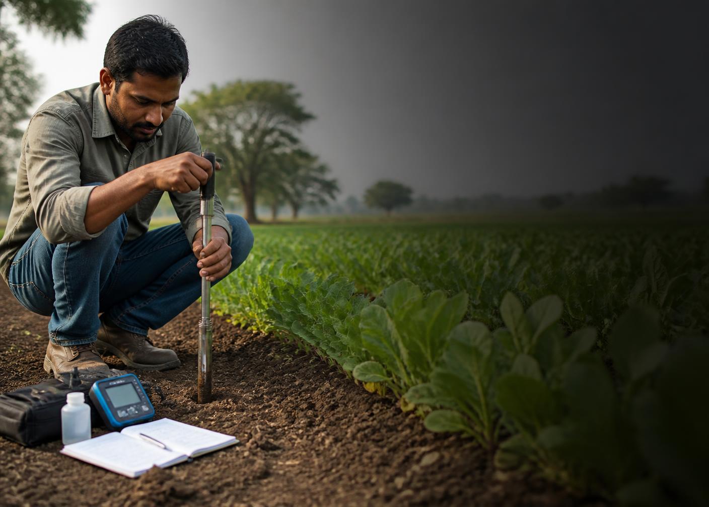
Field work · soil evidence · crop context
3+
Years
Validation and testing
87%+
Field test
Measured in field conditions
92%+
Lab test
Measured under laboratory conditions
50+
On-field tests
Maharashtra crop trials
Institutional validation
MPUAT / Government Agriculture University, Udaipur.
Crops covered in trials
Real-world project
The Gurujal / Damdama Lake project demonstrates how the same sensing and data approach can monitor environmental conditions beyond agricultural fields.
Air temperature, atmospheric pressure, humidity, solar radiation, wind, particulate matter, gases and soil health are brought into one connected environmental record.
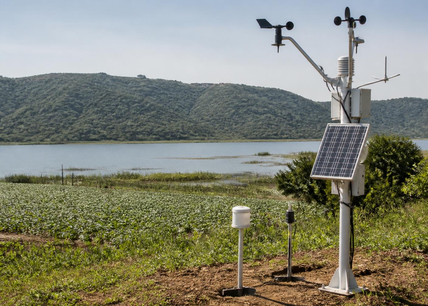
Parameters monitored
Air temperature
Atmospheric pressure
Humidity
Solar radiation
Wind speed / direction
PM2.5 / PM10
CO2 / CO
Soil health
MeraSamman · tractor telematics
MeraSamman helps tractor owners and operators see vehicle location, manage geofences, receive alerts and plan maintenance and service.
Sarus Agro Private Limited
Sarus Agro Private Limited develops IoT and AI-powered technology for smarter, connected and data-driven agriculture — sensing hardware, agricultural data intelligence and the products that put both to work in the field.
Dr. Akshay Garg
CEO | PhD in IoT
Dr. Akshay Garg is the CEO of Sarus Agro, with a PhD in IoT and expertise in connected sensing, IoT systems and data-driven technology.
Dr. Madhuri Garg
Director | Botany
Dr. Madhuri Garg brings a background in Botany and contributes agricultural and environmental knowledge to Sarus Agro's technology-led approach.