
Connected agricultural intelligence
From Soil
to Sky
See agriculture through connected ground, crop, aerial and satellite intelligence.
01
GROUND
IoT soil sensing
02
CROP
Computer vision assessment
03
AIR
Drone multispectral imaging
04
SKY
Satellite remote sensing
01 · UNDERGROUND
Ground Intelligence
Sensors placed in the root zone report soil conditions continuously, supporting early detection of nutrient deficiencies and in-situ environmental monitoring rather than after-the-fact diagnosis.
Soil Moisture
Soil Temperature
pH
NPK
EC
Salinity
02 · CROP CANOPY
Crop Intelligence
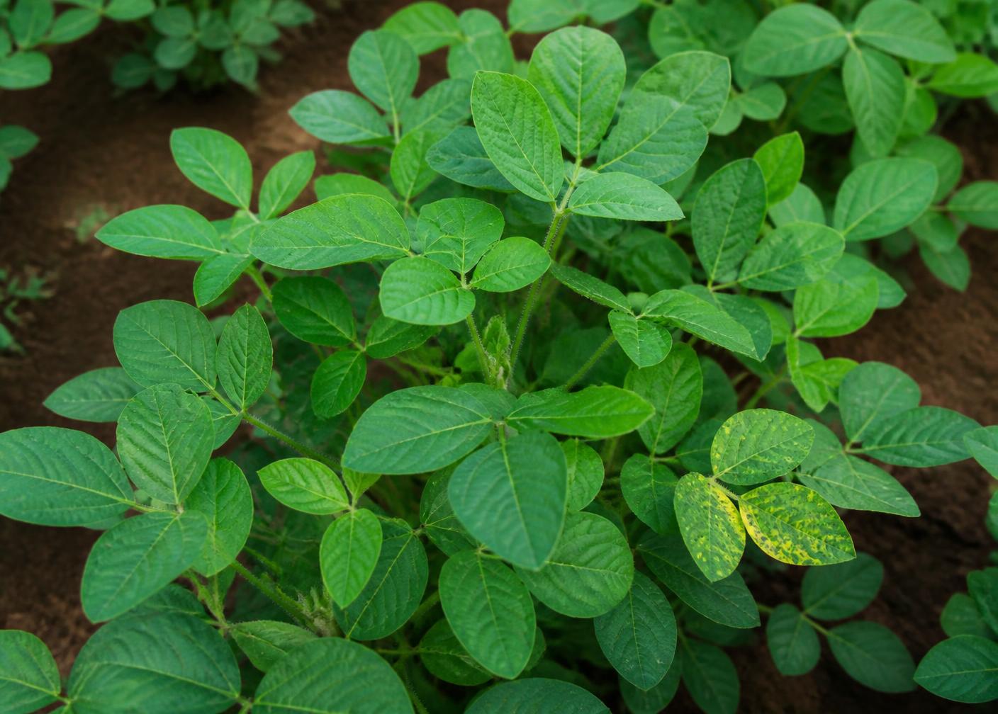
Above the soil, the crop itself carries the signal. Computer vision reads the canopy and, combined with ground data, turns visual evidence into an assessment of how the crop is doing.
- Crop Health
- Canopy condition assessed from field imagery.
- Computer Vision
- Visual analysis of leaves, canopy and crop structure.
- Pattern Recognition
- Repeating signals identified across the plot over time.
- Field Signals
- Image evidence combined with ground sensor context.
03 · AIR
Aerial Intelligence
A drone pass converts a field into a sequence of interpretable layers: multispectral capture, NDVI, chlorophyll analysis, crop health mapping and yield outlook — the same field, progressively better understood.
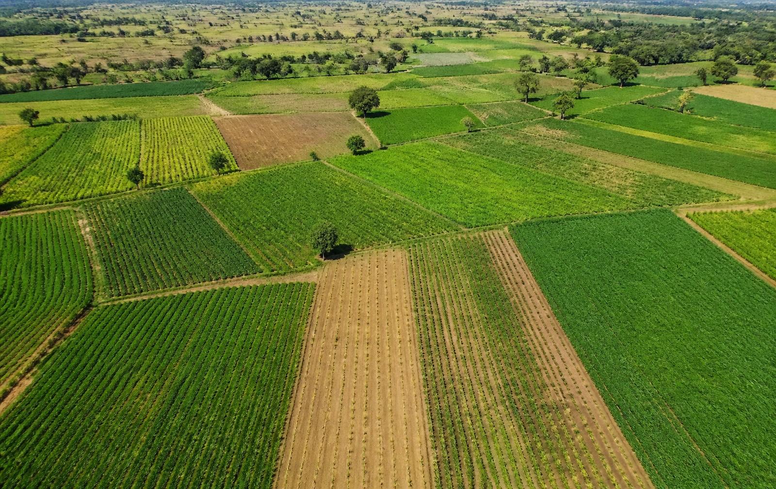
Illustrative aerial intelligence layer
01
Field image
02
Multispectral
03
NDVI
04
Chlorophyll
05
Health map
06
Yield outlook
04 · SKY
Satellite Intelligence
The view widens from a single plant to a landscape. Remote sensing places one field in the context of the wider growing area, its vegetation trends and how land around it is used.
Plant
Individual crop signal
Field
One managed plot
Multiple fields
Cluster-level patterns
Landscape
Large-area observation
Remote Sensing
Observation of vegetation and land beyond one plot.
Climate Impact Assessment
Longer-term climatic influence on the growing area.
Vegetation Trends
Directional change in vegetation across seasons.
Land-use Monitoring
How land in the area is being used and changing.
Connected Agricultural View
Ground sensing, crop imagery, drone intelligence and satellite observation come together in MeriSristi.
GROUND
IoT soil sensing
CROP
Computer vision
AIR
Drone / multispectral
SKY
Remote sensing
MERISRISTI
Connected agricultural intelligence